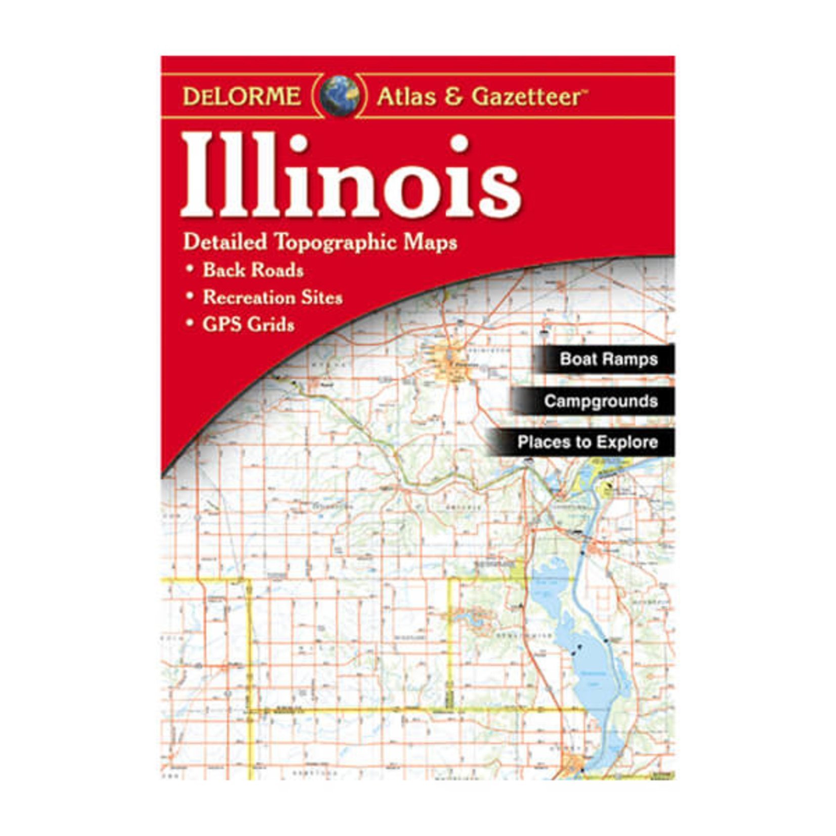
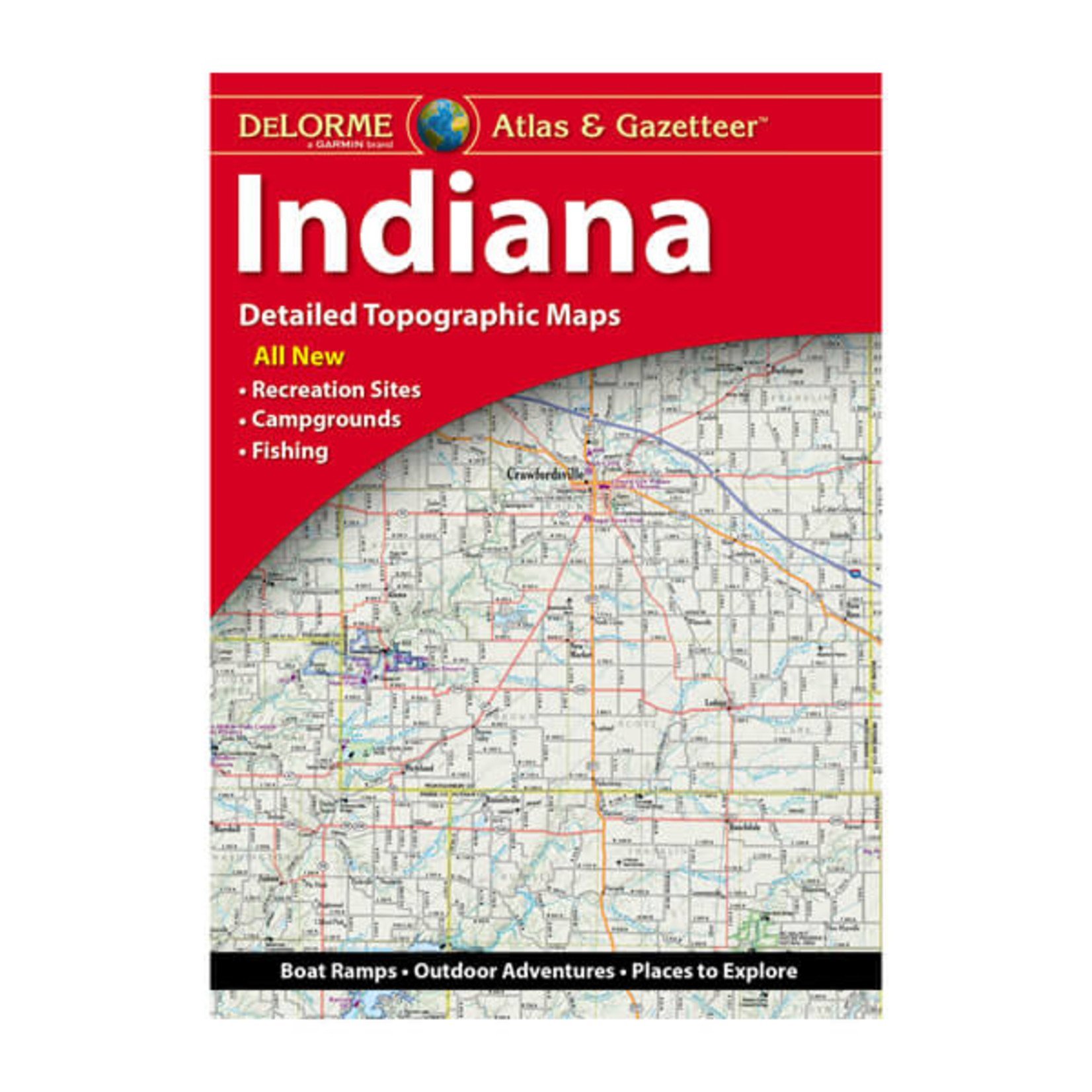
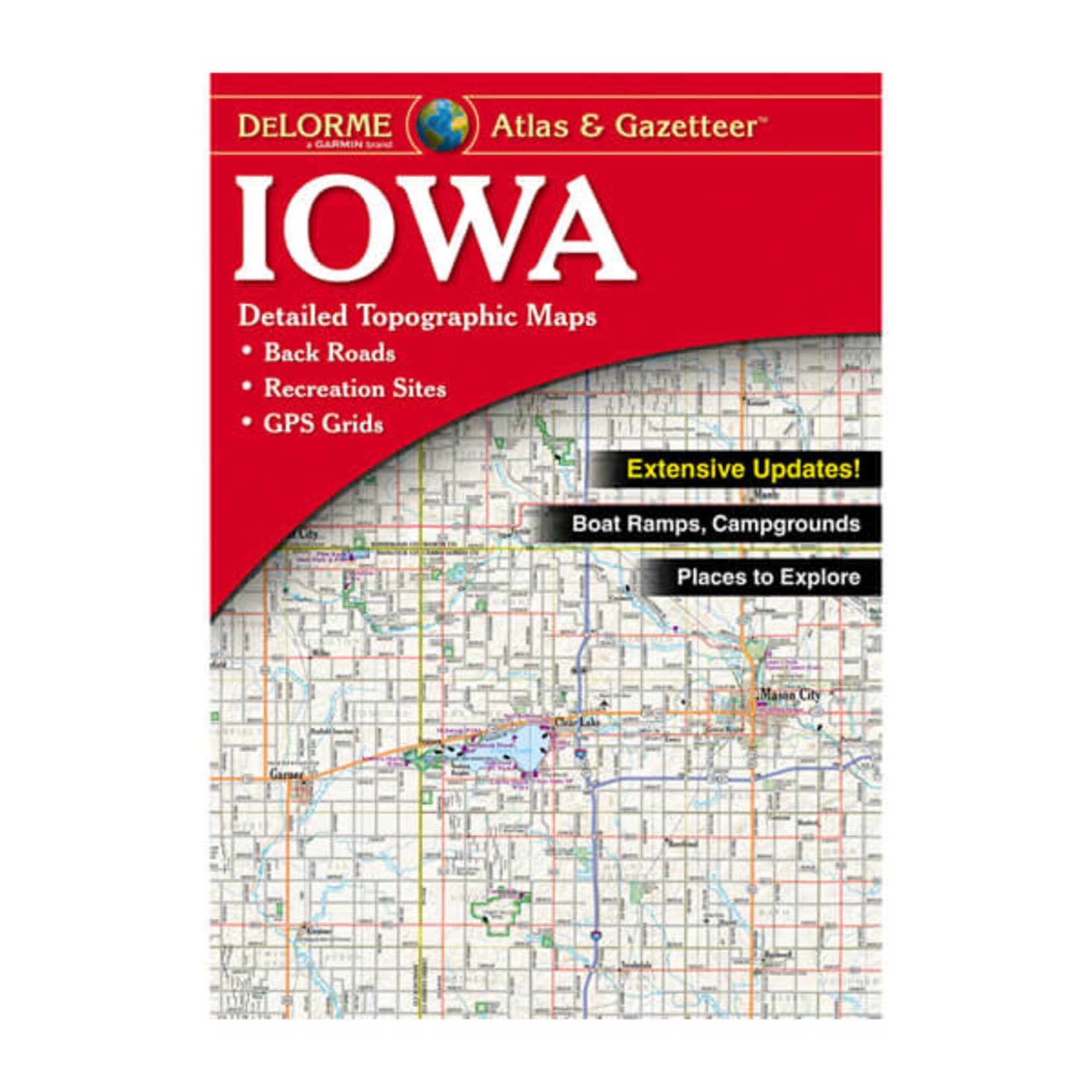
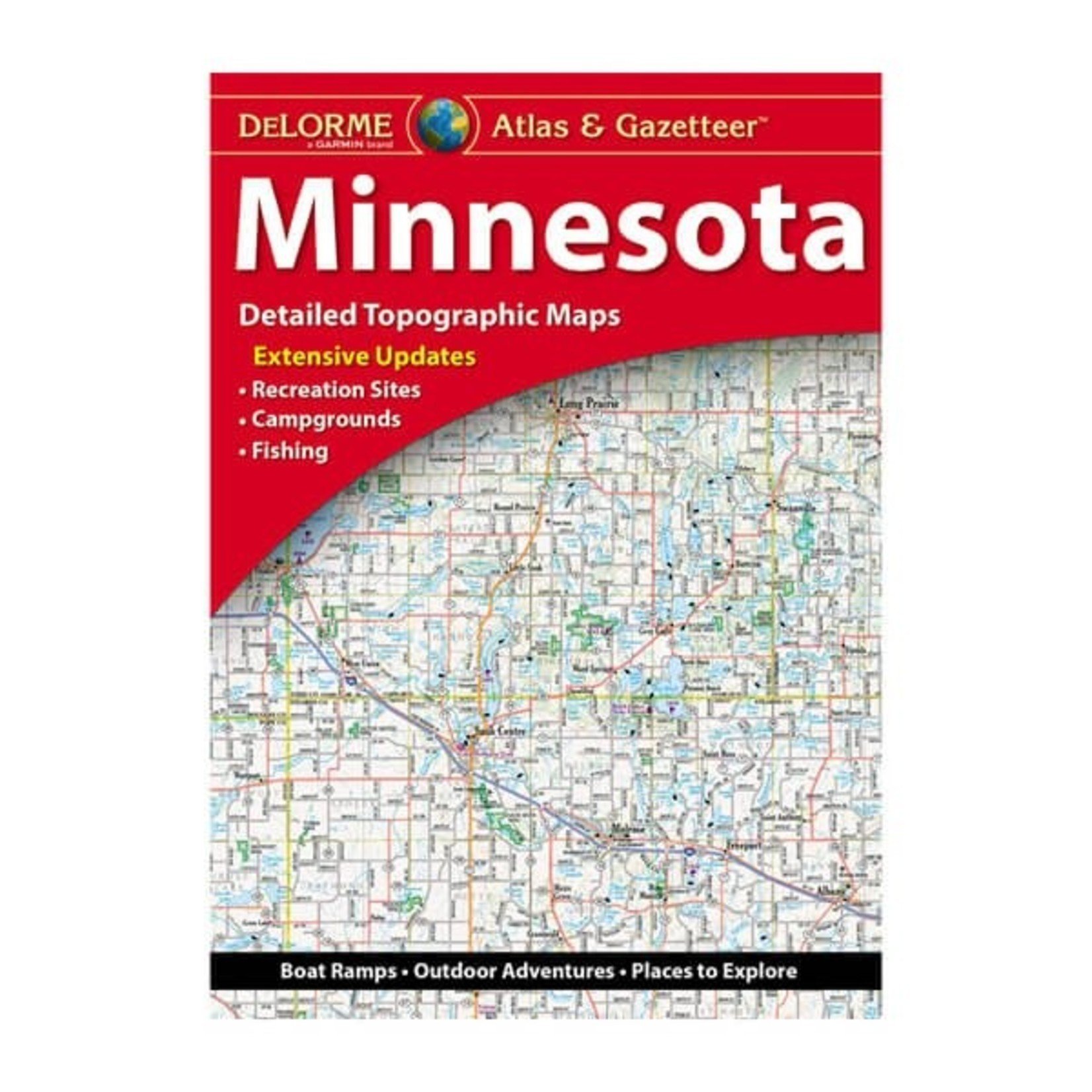
Midwestern States Atlas & Gazetteer
Feeling old-school? DeLorme Atlas & Gazetteer is the perfect analog companion for outdoor recreation and trip planning. You can rely on these intricately detailed paper maps for all the planning details and backcountry access.
Feeling old-school? DeLorme Atlas & Gazetteer is the perfect analog companion for outdoor recreation and trip planning. You can rely on these intricately detailed paper maps for all the planning details and backcountry access.
Feeling old-school? DeLorme Atlas & Gazetteer is the perfect analog companion for outdoor recreation and trip planning. You can rely on these intricately detailed paper maps for all the planning details and backcountry access.
DeLorme Atlas & Gazetteers Are the Outdoor Enthusiasts' Choice
We’ve had dog-eared copies of these for all the neighboring states. DeLorme Atlas & Gazetteer is the perfect analog tool for outdoor recreation and trip planning. Even the GPS giant Garmin agrees: they acquired DeLorme in 2016. True, the classic road-atlas size is a bit chunky to carry along on a bike, but incomparable for car trips. You can rely on these intricately detailed paper maps for all the planning details and backcountry access. It’s also the ideal companion on all your off-season armchair travels.
Amazingly detailed and beautifully crafted, large-format paper maps for all 50 states
Topographic maps with elevation contours, major highways and roads, dirt roads, trails and land use data
Gazetteer section contains information essential for any outdoor enthusiast, such as points of interest, landmarks, state and national parks, campgrounds, boat launches, golf courses, historic sites, hunting zones, canoe trips, scenic drive recommendations and more (Note: available information varies by state)
Perfect for sightseeing, exploring back roads, outdoor recreation and trip planning
It's available in paperback (11-inches x 15.5-inches) for all 50 states (regions not listed on our website can be special ordered).


